English
 Español
 Deutsch
 日本語
日本語 Polska
 Français
 中國
中國 한국의
한국의 Українська
 Italiano
 Nederlands
 Türkçe
 Português
 Bahasa Indonesia
 Русский
 हिंदी
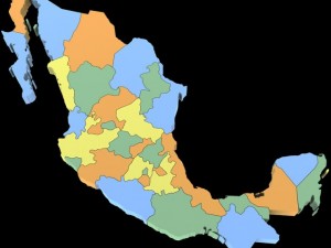
हिंदीUs political map with counties Modelo 3D


- Formatos disponibles: 3DS MAX all ver.: 3ds 18.23 MB3DS MAX ver.2010: max2010 14.67 MB
Render: StandardWavefront OBJ: obj 23.64 MB
- Polígonos:470658
- Vértices:241917
- Animados:No
- Texturas:
- Articulados:No
- Materiales:
- Low-poly:No
- Colección:No
- Mapas UVW:No
- Plugins Usados:No
- Listo para Imprimir:
- 3D Scan:No
- Para adultos:No
- PBR:No
- Geometría:Polygonal
- Desenvolver UVs:Unknown
- Vistas:3348
- Fecha: 2016-05-01
- ID de artículo:119840
- Valoración:
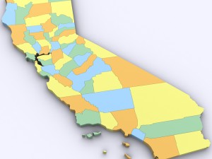
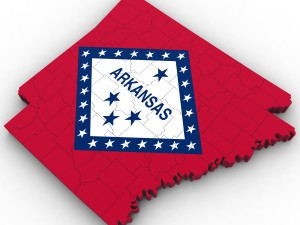
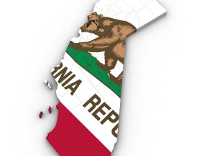
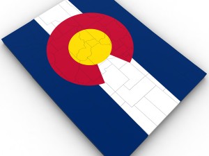
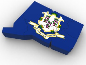
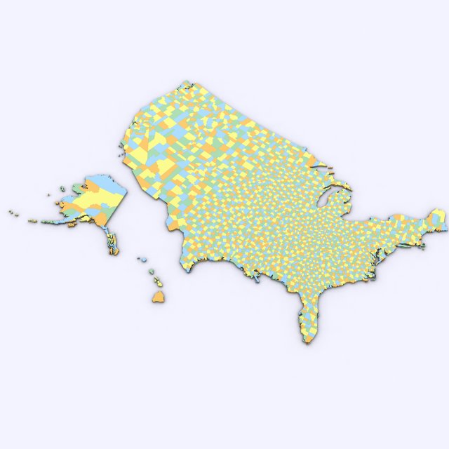
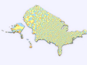
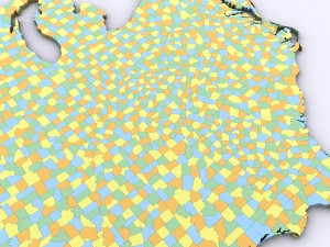
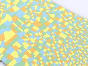
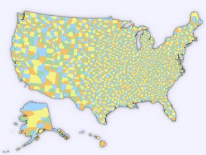
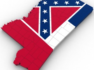
3d model of the political map of the united states. map includes every county in the entire united states.
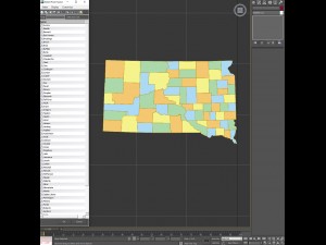
all counties are grouped by the state they are in for easy navigation.
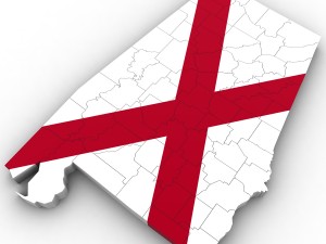
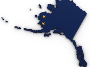
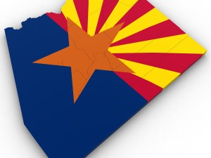
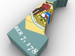
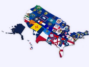
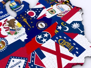
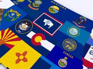
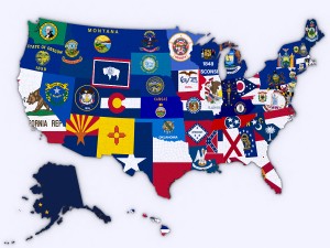
modifier stack is uncollapsed allowing for easy change of the extrusion of each county. product also includes a version that features a high resolution image of the flag of each state.
includes over 3,000 counties in the united states.
Leer másall counties are grouped by the state they are in for easy navigation.
modifier stack is uncollapsed allowing for easy change of the extrusion of each county. product also includes a version that features a high resolution image of the flag of each state.
includes over 3,000 counties in the united states.
¿Necesita más formatos?
Si precisa un formato distinto, por favor, abra una consulta de Soporte y solicítelo. Podemos convertir modelos 3D a: .stl, .c4d, .obj, .fbx, .ma/.mb, .3ds, .3dm, .dxf/.dwg, .max. .blend, .skp, .glb. Nosotros no convertimos escenas 3d y formatos como .step, .iges, .stp, .sldprt.!
Si precisa un formato distinto, por favor, abra una consulta de Soporte y solicítelo. Podemos convertir modelos 3D a: .stl, .c4d, .obj, .fbx, .ma/.mb, .3ds, .3dm, .dxf/.dwg, .max. .blend, .skp, .glb. Nosotros no convertimos escenas 3d y formatos como .step, .iges, .stp, .sldprt.!
Descargar Us political map with counties Modelo 3D 3ds max2010 obj De Plutonius
united states usa map county state america nation country political detailedNo hay comentarios sobre este artículo.